|
Nunda Historical Society |
 |
|
|
Nunda Historical Society |
 |
|
Historical Boundaries of the |
|
Whether you are doing family research, property research, or are just interested in the history of the Nunda area, it is important to understand the changes that have taken place in the town's boundaries. The brief summary below will introduce you to these important changes. |
1775-1797
|
Original lands of the town of Nunda are indicated in white on this map. The "Old Indian Line" is the red line to the left of the town. The "Transit Meridian" marks the eastern boundary of the Holland Purchase. The area between the two lines was known as the Morris Reserve. Adapted from Map of the state of New York showing the location of the original land grants, patents and purchases. Copyright 1895, Julius Bien & Company, N.Y., accessed from http://www.davidrumsey.com |
1798-1807
|
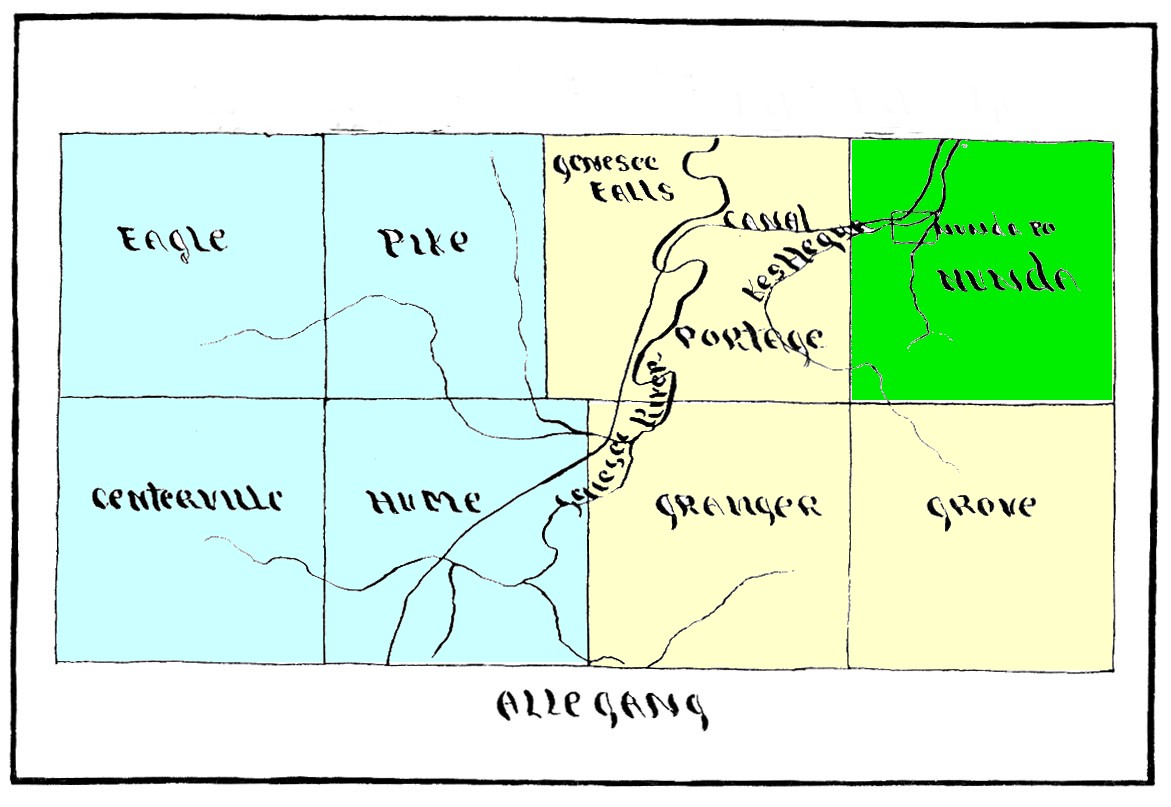
Highlighted section of this 1806 Map of Allegany County shows the lands that would become Nunda. Adapted from Allegany County & It's People: A Centennial Memorial History of Allegany County, New York. --Histories of the Towns of the County; Mrs. Georgia Drew Merrill, Editor; Published by W.A.Fergusson & Co., Alfred,NY - 1896 |
1808-1827
Map adapted from H.W. Hand's Centennial History of Nunda.
|
 |
1828-1845
|
Map of the County of Allegany. By David H. Burr. Published by the Surveyor General, pursuant to an Act of the Legislature. Entered according to an Act of Congress Jany. 5th. 1829 by David H. Burr of the State of New York. Engd. by Rawdon, Clark & Co., Albany & Rawdon, Wright & Co., N. York. Copy in Nunda Historical Society Collection. |
|
|
1846 Taken from 1858 wall map of New York State |
 |
| Additional Sources |
|
All rights reserved 2011